See what
lies beneath.
One unified ground model, from raw CPT to a finished cross-section, for geologists and geotechnical engineers. StrixGeo builds the model. Your design tools keep the calculations.
Free and open source (AGPL-3.0). Windows 10 and 11.
Bring the data together
Import CPTs, boreholes and public laboratory data. In Belgium, pull public DOV data straight off the map by drawing an area.
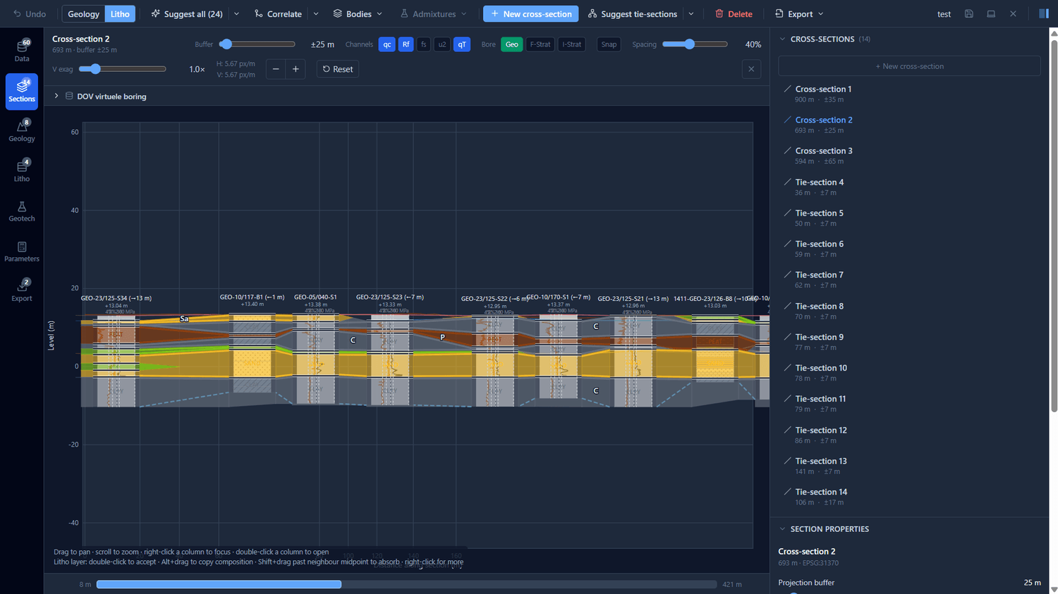
Interpret in cross-sections
Correlate units between investigations to build the stratigraphic and lithological models, then synthesise the geotechnical model. Cross-sections are the editing surface, not a separate copy.
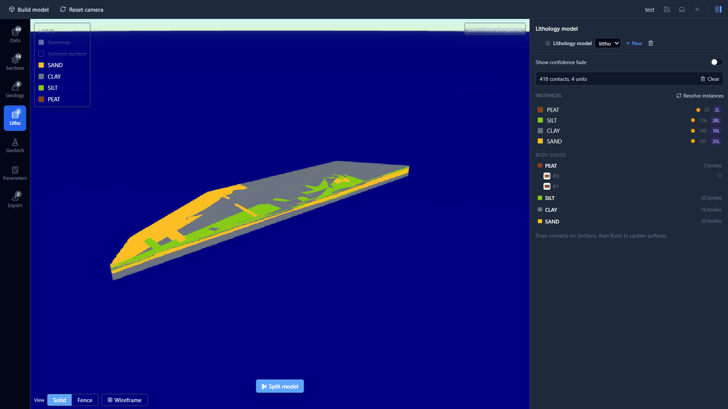
Build in 3D and export
Build a watertight 3D ground model in one click, with parameters and statistics per unit, then export to your design tools using stable unit identifiers.
Real data, real model. Built in StrixGeo from public Flanders CPTs and boreholes.
Click a thumbnail to enlarge
Interpreted separately, synthesised into one.
StrixGeo keeps the stratigraphic and lithological interpretations distinct, then combines them into a single geotechnical model you export and report from.
Stratigraphic model
By formation and member. The large-scale framework of the site.
Lithological model
By material. Sand, clay, silt and peat, correlated across the section.
Geotechnical model
Synthesised from the two above into one ground model, with parameters and statistics.
Follow the build.
Leave your email to hear about new releases. One message, no spam.