StrixGeo · ground model platform
See what
lies beneath.
One unified ground model — from raw CPT to a finished cross-section — for geologists, geotechnical engineers and ground-modelling enthusiasts.
Open demo — coming soon
Geologists, geotechnical engineers and ground-modelling enthusiasts in Belgium - be first into the bèta, no spam mails, just a heads-up on launch
01Import your CPT / borehole / lab data — or pull public Flanders data straight off the map.
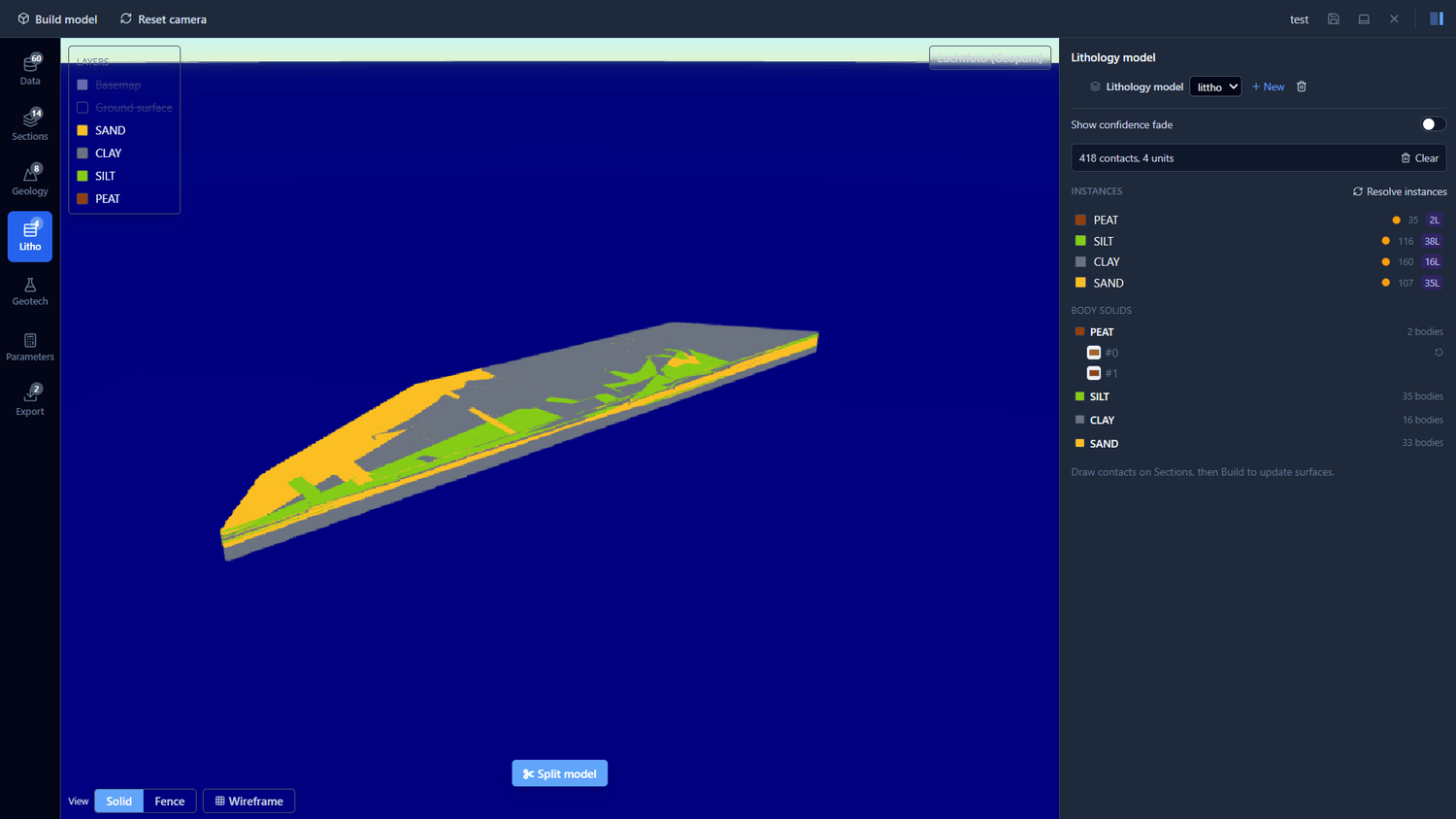
02Correlate lithology on cross-sections; build a watertight 3D ground model in one click.
03Export to your design tools with unit identifiers.